Pacific Palisades
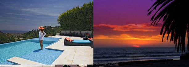
Pacific Palisades is located between Brentwood to the east, Malibu to the west, Santa Monica to the southeast, the Santa Monica Bay to the southwest, and the Santa Monica Mountains to the north. The area currently has about 27,000 residents. It is a very affluent and primarily residential area, with a mixture of large private homes, small (usually older) houses, condominiums, and apartments. It has a small central business district on Sunset Boulevard, consisting of restaurants, stores, banks, and offices, known as “the village.” It also includes some large parklands and many hiking trails. Palisades Charter High School serves the neighborhood. It is known as “Where the Mountains Meet the Sea.”
Neighborhoods in Pacific Palisades:
-The Riviera features The Riviera Country Club, a high-end country club, and streets named after various locations in the French and Italian Riviera. The neighborhood is divided into north and south sections by Sunset Boulevard. It borders Santa Monica and Brentwood.
-Rustic Canyon features post-war homes located on the former polo field of The Uplifters, the original site of The Uplifters clubhouse (now a city park) and the “cabins” developed as second homes and weekend retreats. This area is also known as Uplifter’s Ranch. Located off Sunset Blvd. between The Riveria and Huntington Palisades. Above the canyon lies Will Rogers State Park.
-Huntington Palisades is close to the ‘village’ proper, and is more of a typical suburb. It is located south of Sunset Blvd.
-The Alphabet Streets also known as “North Village”, are north of Sunset Blvd. and are characterized by narrow streets. The street names are consecutively named beginning with A, B, C, D, etc – hence the name Alphabet Streets. The streets are named for Methodist Bishops of the late 19th and early 20th century. It is a popular destination for trick-or-treaters on Halloween.
-The Bluffs are located further out-of-town west along Sunset Boulevard and start past Palisades Charter High School and Via De La Paz. they extend for a long distance between Sunset Blvd. and the Palisades Bluffs.
-Marquez Knolls is a large area of homes, known for spectacular ocean views, and is located farther west on Sunset Blvd on a mountain upslope. The lower upslope was first developed in the early 1950s and mid 1960s by the Earl Lachman family. Marquez Elementary services the neighborhood along with a small shopping center on Marquez Street and Sunset Blvd.
-Palisades Highlands is a community near the end of Sunset Blvd., bordering Malibu. About five minutes away from the center of the Pacific Palisades, the Palisades Village, The Highlands could almost be considered its own separate community.
Pacific Palisades services the 90272 zip code.